
-
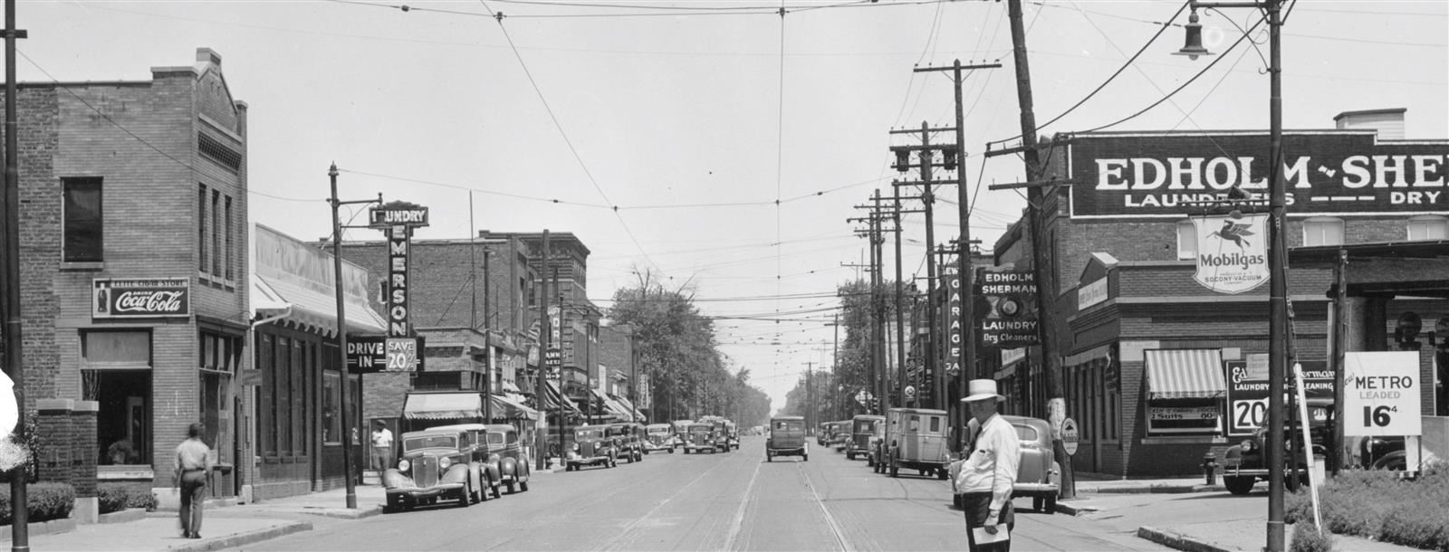
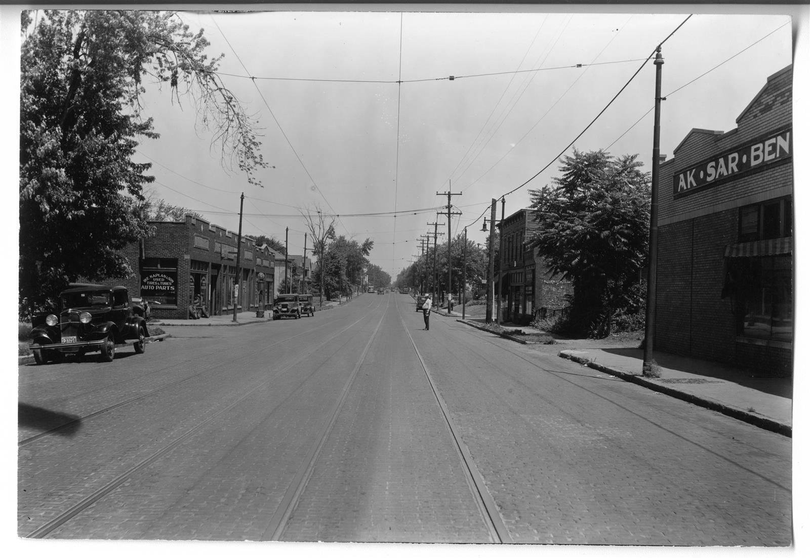
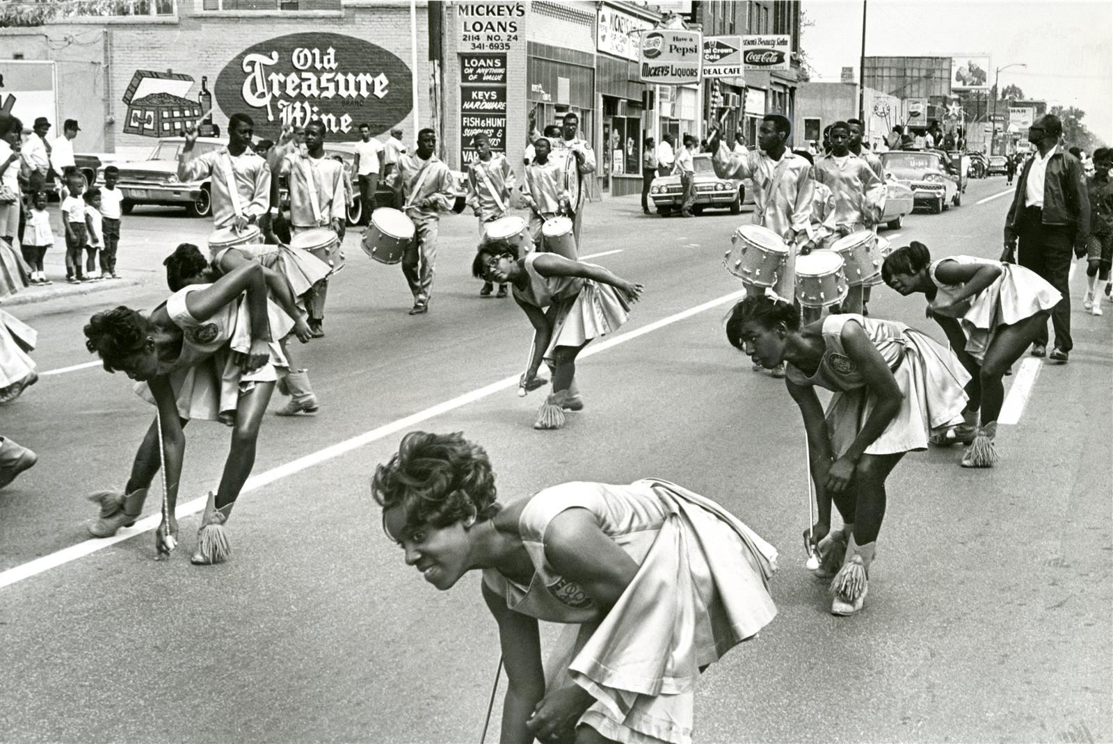
In June 2022, 15 OPS high schoolers, three OPS social studies teachers, and three UNO college students spent one week researching and mapping the more than 400 homes and mom-and-pop businesses that lined North 24th from Cuming Street to Ames Avenue in the late 1950s and early 1960s.
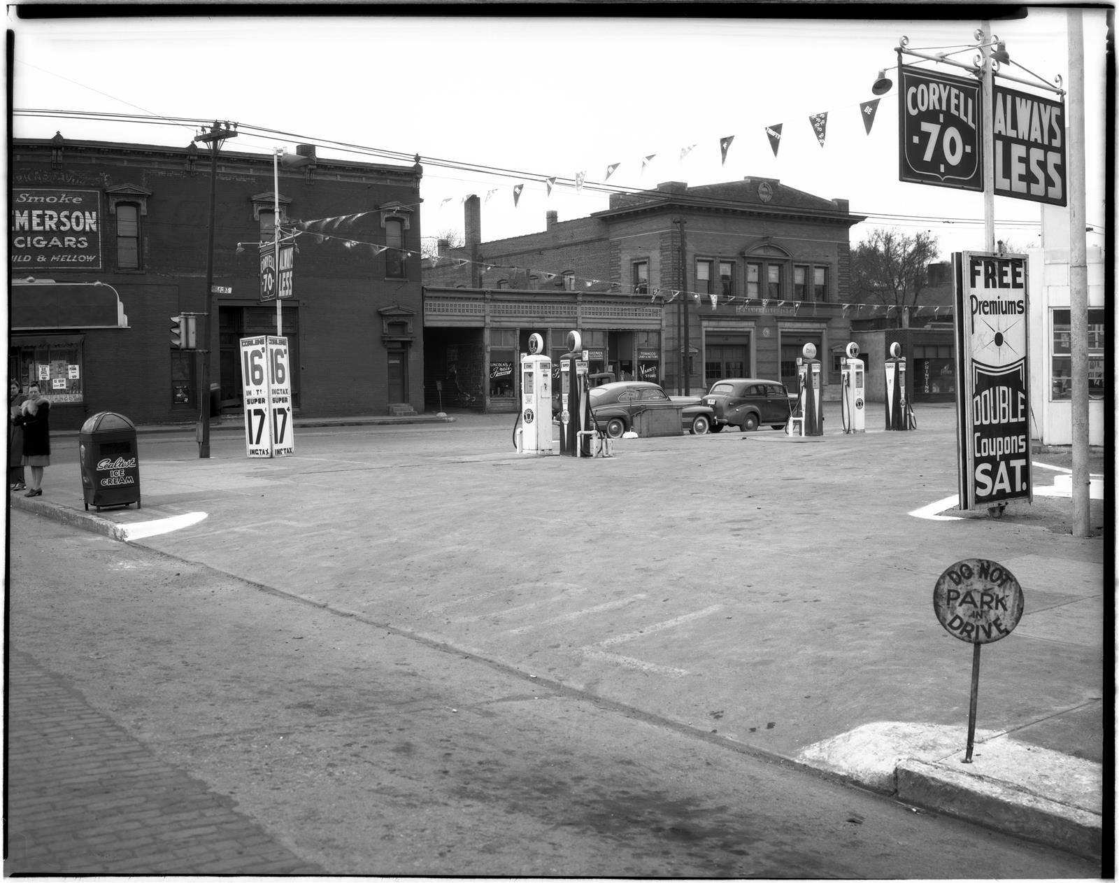
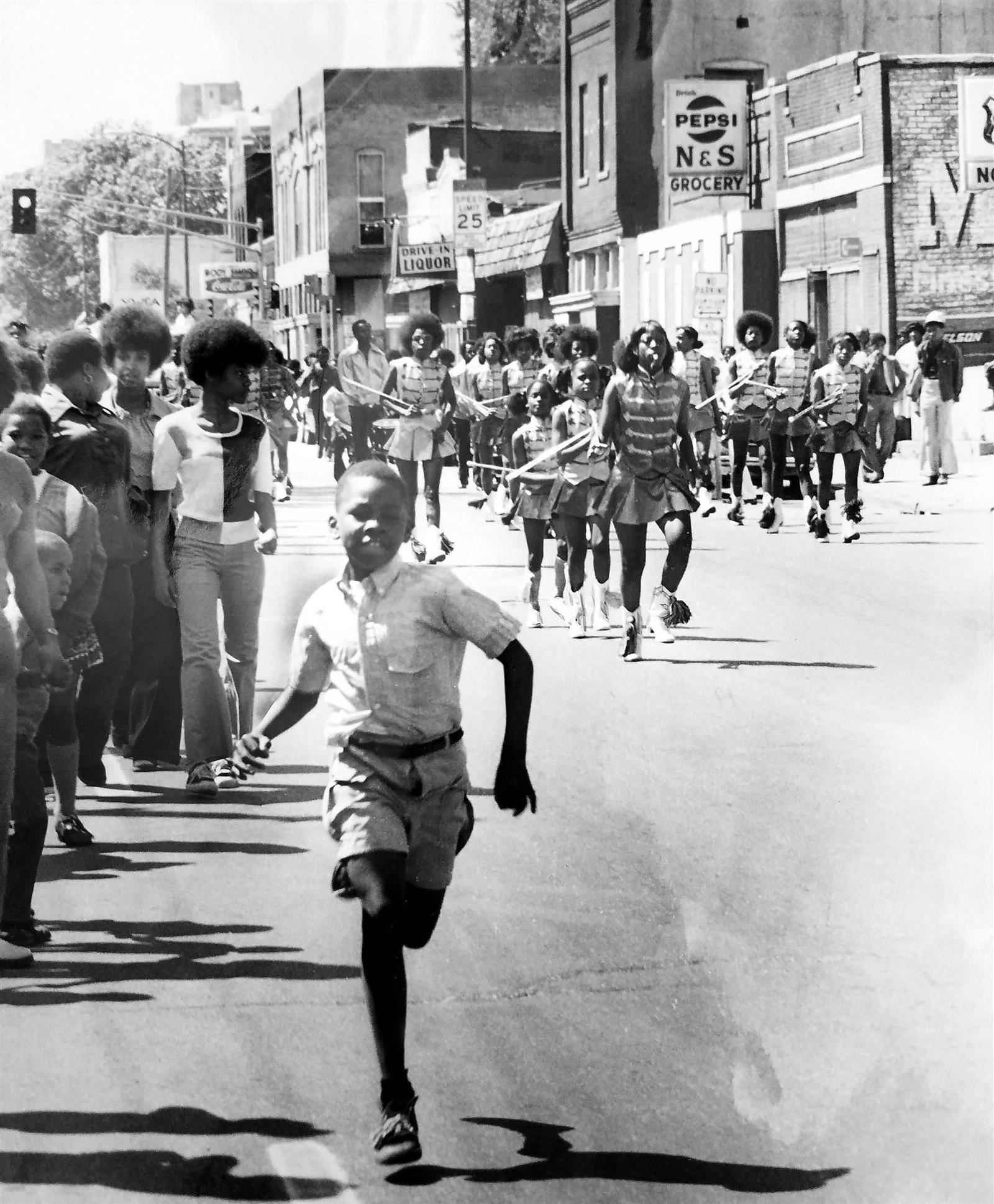
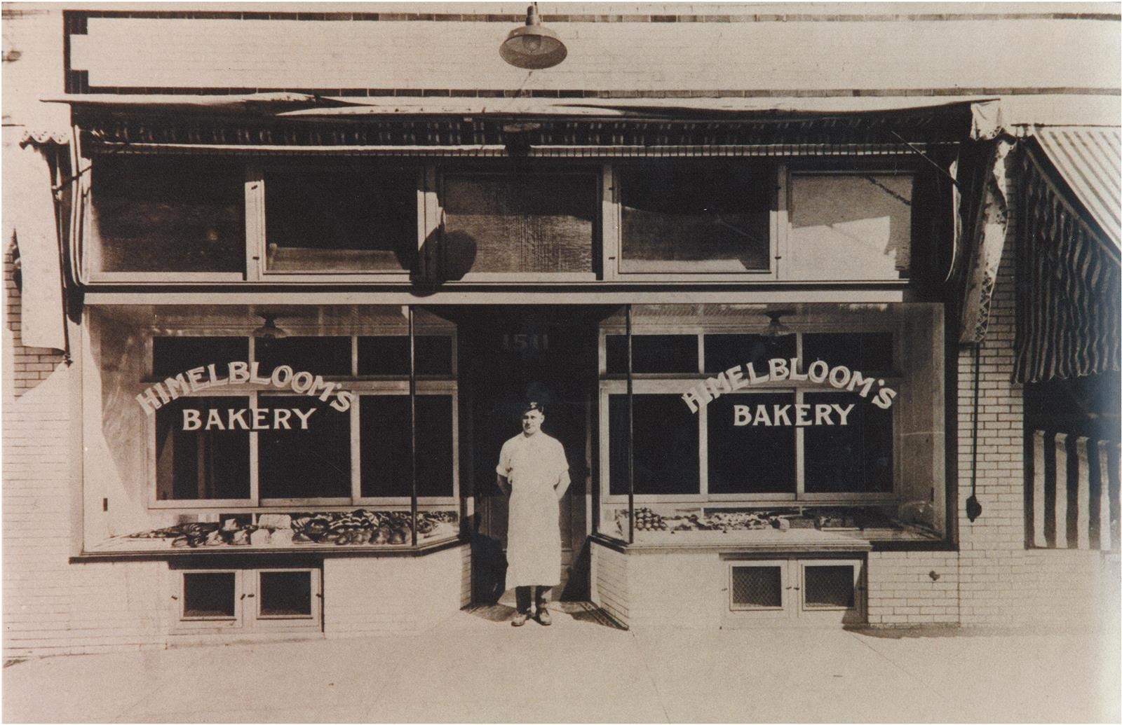
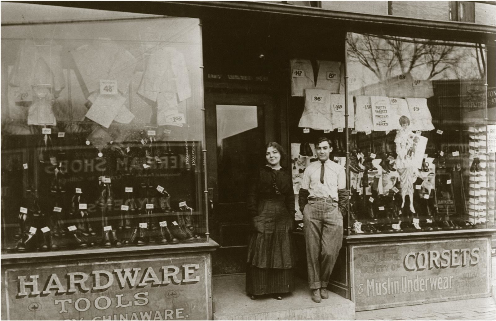
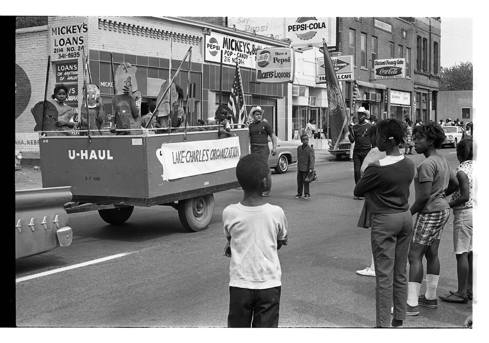
Why this project? Past research uncovered the thriving African American and Jewish communities prior to racial riots and disinvestment in the community that changed the landscape. People who grew up in the late 1950s and early 1960s are now in their 70s and 80s. We wanted to capture their stories before they were gone. Lastly, we wanted to provide the community with a visual look at the properties that once lined North 24th Street to be used as a resource in discussions of how North 24th Street can be redeveloped to serve the community today.
Program highlights included a tour of North 24th Street with Preston Love Jr. followed by soul food at Big Mama’s and the chance to hear stories of North 24th Street in the 1950s and early 1960s from those who lived it; John Ewing Sr., Preston, Patricia Allen, and Marty Shukert. Participants learned how to research the history of properties with Omaha history expert and librarian Martha Grenzeback. They spent time exploring the Jewish Historical Society archives and learning about the history of the Jewish settlers in Omaha and the Jewish businesses that once lined North 24th Street from historians Ben Justman, Dr. Jeanette Gabriel, and Marty Shukert.
The project was made possible thanks to funding from the Sherwood Foundation. Special thanks to the University of Nebraska at Omaha’s Geography Department for hosting the program and to instructor Paul Hunt for all his help.
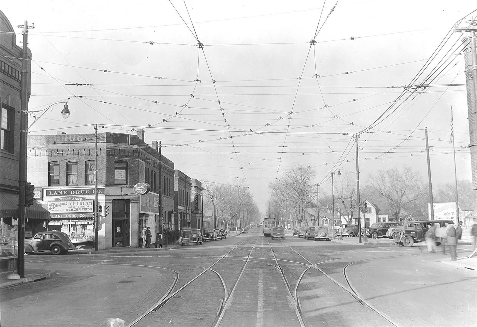
Click on the picture or the link below to compare North 24th Street in 1958 to the same area today.
https://mihv.maps.arcgis.com/apps/Compare/index.html?appid=201b7a4703074a4fb08f06c2f5bc5375
And, click on the icons below to see the homes and businesses that lined North 24th Street in the late 1950s and early 1960s. Use the search bar to find a specific address.
-
North 24th Street Cuming to Caldwell
-
North 24th Street Caldwell to Charles
-
North 24th Street Charles to Seward
-
North 24th Street Seward to Clark
-
North 24th Street Decatur to Blondo
-

North 24th Street Blondo to Patrick
-
North 24th Street Patrick to Grant
-
North 24th Street Grant to Lake
-

North 24th Street Lake to Ohio
-
North 24th Street Ohio to Locust
-
North 24th Street Locust to Spencer
-
North 24th Street Spencer to Pinkney
-
North 24th Street Pinkney to Pratt
-
North 24th Street Pratt to Spalding
-
North 24th Street Spaulding to Ames
-
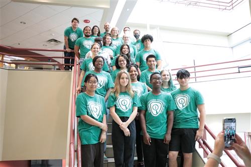
2022 MIHV-GIS Students and Teachers
Research
- City of Omaha Polk Directories 1958 to 1962
- Douglas County 1958 Aerial Map
- Sanborn Fire Insurance Maps from 1962
- The Durham Museum Archives
- Great Plains Black History Museum Archives
- Nebraska Jewish Historical Society Archives
- The Omaha World-Herald Archives accessed through the Omaha Public Library
- The Omaha Star Archives accessed through the Omaha Public Library
- The University of Nebraska at Omaha Geography Department, Paul Hunt
Interviews
- Patricia Allen
- Eric Ewing
- John Ewing Sr.
- Jeannette Gabriel
- Ben Justman
- Preston Love Jr.
- Marty Shukert
Lessons