
Making Invisible Histories Visible
Page Navigation
- Making Invisible Histories Visible
- Lesson Plans and Resources
- iBooks on Omaha and Nebraska History for Primary Students
- Omaha Mapping Projects
-
African American Histories
- African American Artists
- African American Athletes & Facilities
- African American Churches
- African American Civil Rights Organizations - 1950s-1960s
- African American Civil Rights
- African American Contributions to Jazz, Gospel, Hip-Hop
- African American Dramatic Arts
- African American Education - Dorothy Eure & Lerlean Johnson
- African American Educators & Education
- African American Firefighters
- African American Homesteaders
- African American Law Enforcement
- African American Migration to Omaha
- African American Musicians of Omaha
- African American Newspapers
- African American Owned Businesses
- African American Politicians
- African American Social Life
- African American Workers at Omaha's Railroads & Stockyards
- African American Workers at the Naval Ammunition Depot in Hastings
- African Americans in the Civil War
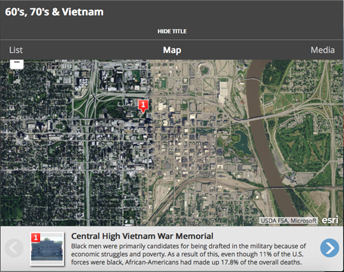
- African Americans in Vietnam
- Charles B. Washington - Journalist and Civil Rights Leader
- Elizabeth Davis Pittman - Lawyer/Judge
- Green Book Omaha
- Marlin Briscoe - Professional Football Player
- Native Omaha Days
- Nebraska's Role in the Underground Railroad
- Sen. Edward Danner - Politician & Civil Rights Activist
- Sudanese Refugees
- Tuskegee Airmen
- European and Asian Immigrant Histories
-
Historic Neighborhoods & Buildings
- 24th and Binney/Wirt/Spencer Streets
- 24th and Lake Streets
- Central Park Neighborhood - 42nd and Grand Avenue
- Dahlman Neighborhood - 10th and Hickory Streets
- Hartman Addition Neighborhood - 16th and Williams Streets
- Indian Hills/Southside Terrace Neighborhood - 30th and Q Streets
- Jefferson Square Neighborhood - 16th and Chicago Streets
- Long Neighborhood - 24th and Clark Streets
- Orchard Hill Neighborhood - 40th and Hamilton Streets
- Smithfield Neighborhood - 24th and Ames Avenue
- St. Mary's Neighborhood - 30th and Q Streets
- Latino Histories
- Music Histories
-
Native American Histories
- Black Elk and John G. Niehardt
- Chief Standing Bear and Susette La Flesche Tibbles
- Dr. Susan LaFlesche Picotte - Native American Doctor
- Native American Education and Boarding Schools
- Native Americans in the Military
- Pre-statehood Interaction of Native Americans and Europeans
- Preserving Native American Tradition
- Restoring the Ponca Tribe
- The American Indian Movement in the 1960s and 1970s
- The Indian Congress at the 1898 Trans-Mississippi Exposition
- The Omaha Native American Indian Tribe
- OPS Elementary School History
- Redlining in Omaha
- Nebraska's Role in the Underground Railroad
- The 1898 Trans-Mississippi Exposition
Map Tours by Era
-
In July 2016, upper-level Omaha Public Schools students created interactive GIS Story Map tours that connect Omaha history to places. The Story Maps connect with the Omaha Public Schools 9th grade U.S. History curriculum. The maps are broken out by unit (below) and explore what people and events were contributing to local and national stories of the time.
- The Roaring 1920s
- The Great Depression (1929-1930)
- World War II (1939-1945)
- 1950s and the Cold War (1945-1959)
- Civil Rights Movement (1955-1975)
- 1960-1970 and Vietnam